Ganwoljae is a mountain outing. The general mountain reference on the map is not a verified trailhead or a road-accessible viewpoint.
A pass in a much larger mountain landscape
Ulsan introduces the Yeongnam Alps as a group of high mountains and highlights Ganwoljae among its seasonal landscapes. Silver grass is a particular autumn attraction. A visit can focus on the pass without becoming a traverse of the surrounding summits.
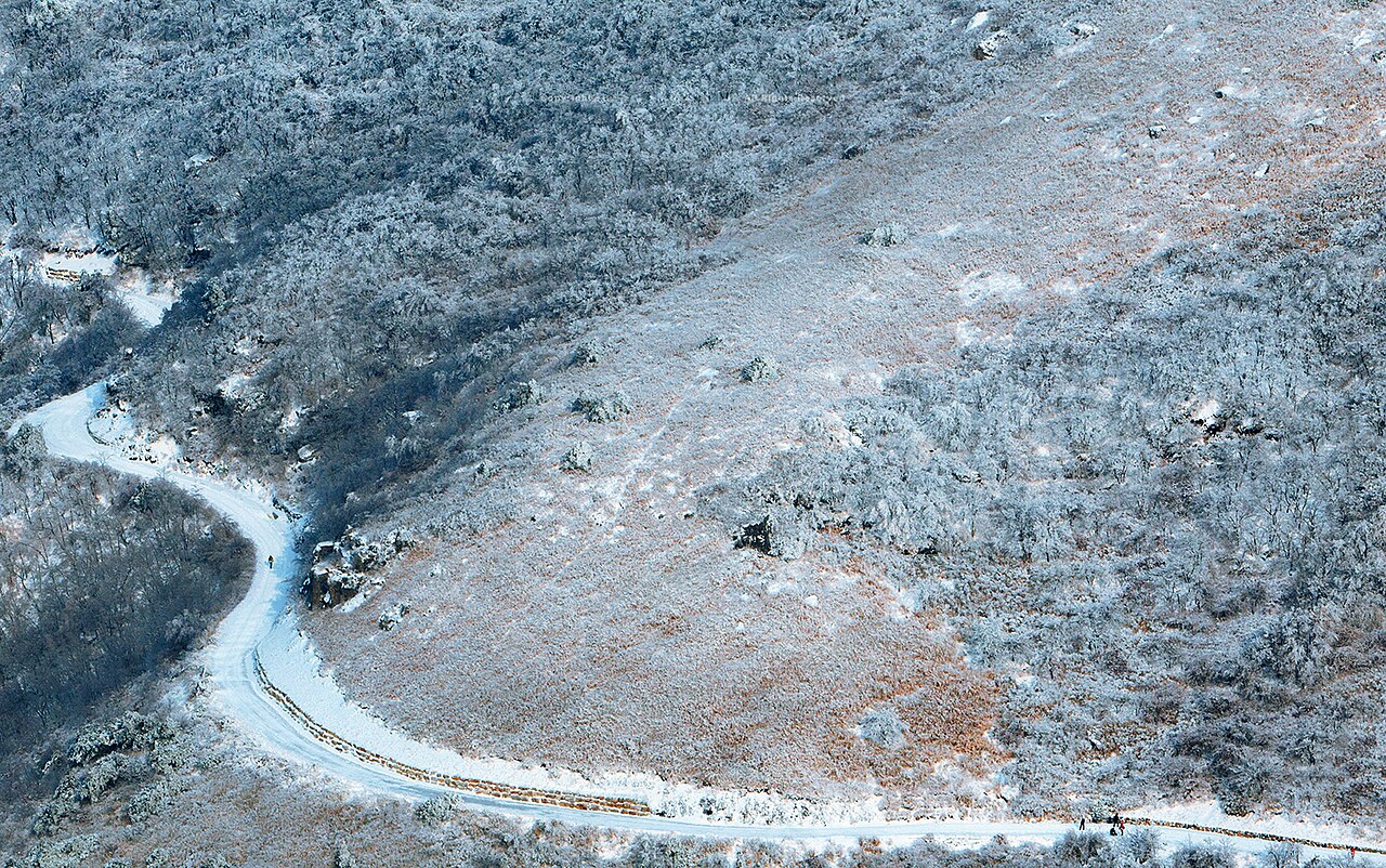
The winter photograph shows a snow-covered slope and winding path in the Ganwoljae area. It should not be read as a current trail report or proof of an easy all-season surface. Decide whether the day's weather and ground conditions suit your experience before committing to the walk.
Choose a start and a turnaround before travelling
A mountain name alone is not enough for navigation. Establish the actual start, route distance, ascent and return connection using current local information. Do not use the general Ganwolsan map reference below as a car-park or trailhead coordinate.
Ulsan's mountain visitor information lists a Ganwoljae service area at 614 Ganwolsan-gil and a separate Yeongnam Alps Complex Welcome Center at 103-8 Alpeuseuoncheon 5-gil. These are different places. Confirm which facility and approach your chosen route uses rather than assuming the welcome centre and the pass are adjacent.
Plan your visit
| Practical detail | What to know |
|---|---|
| Area | Ganwolsan / Ganwoljae, Sangbuk-myeon, Ulju-gun, Ulsan. |
| Service-area reference | 614 Ganwolsan-gil; an official facility address, not confirmation of vehicle access to the pass. |
| Visitor planning | Ulsan lists the Complex Welcome Center at 103-8 Alpeuseuoncheon 5-gil; telephone +82-52-254-2972. |
| Route and facilities | Confirm current trail access and service-area operation. Carry your own water and food. |
| Return | Leave time to descend and reach the transport you actually plan to use. |
Prepare for exposure, not just the photograph
Pack for changing mountain weather and take layers even when the city feels warm. If there is snow or ice, reconsider the plan against your equipment and experience. A shorter low-level alternative is a better choice when the ridge conditions are unsuitable.
Choose the pass or a summit as your main objective and keep a turnaround time. Do not add a long ridge continuation simply because it appears nearby on the map. Use the official Ulsan mountain information as a starting point for current local advice.