This guide covers Taeha on Ulleungdo. Plan mainland transport and your journey from the island's arrival terminal separately.
Look closely at a volcanic shoreline
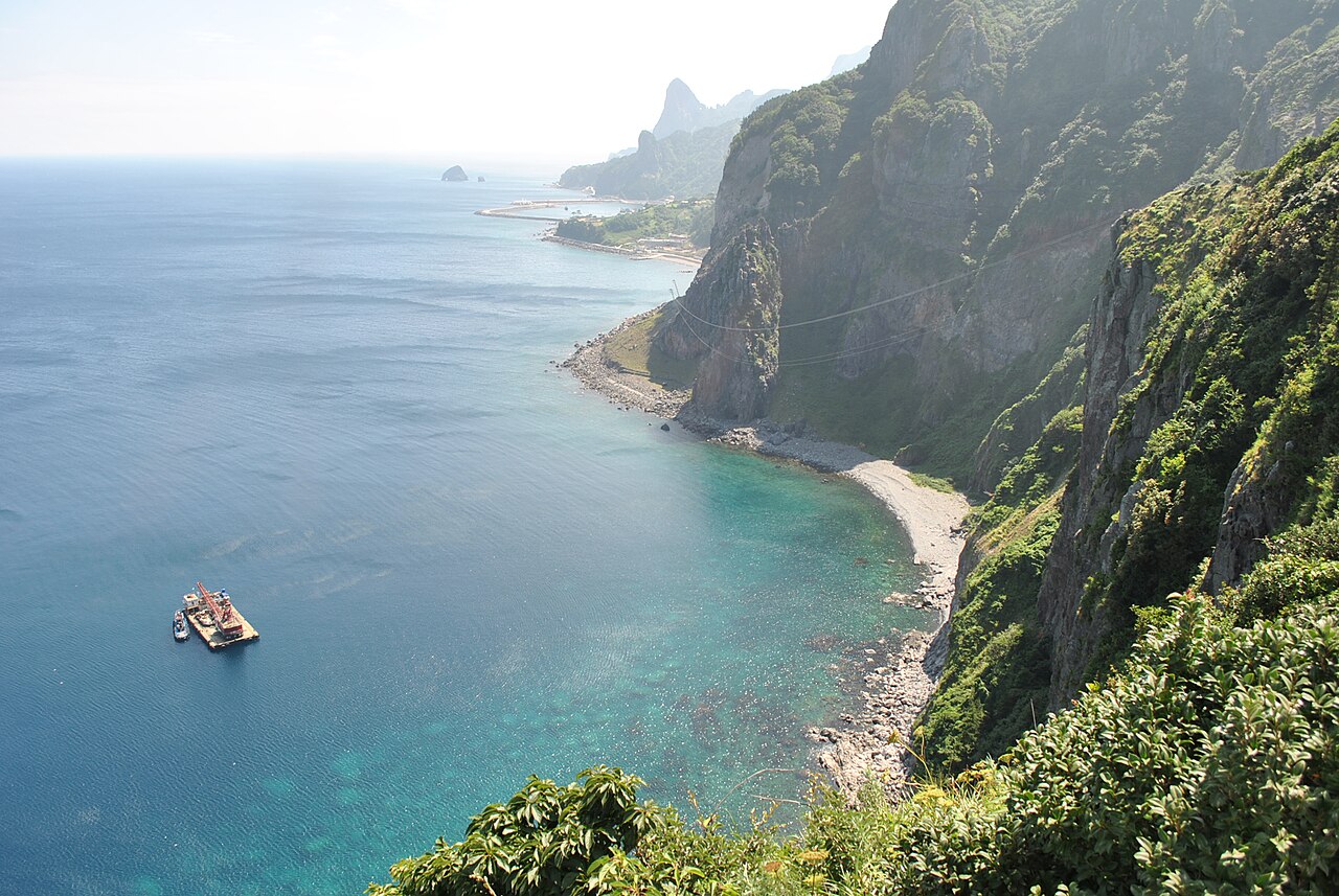
Taeha lies on Ulleungdo's western side. The coastal trail and Daepunggam cliffs are part of the Ulleungdo–Dokdo national geopark. Look for honeycomb-like hollows called tafoni in the weathered volcanic rock. The coast rewards time spent looking at the rock surfaces as well as the wide sea view.
The photograph records the Taeha coast and harbour area. It is not a picture of Dokdo or a guide to ferry arrival facilities. This article focuses on the Taeha part of Ulleungdo; it does not combine the island and a separate Dokdo journey into one promised outing.
Separate the coastal path from the upper viewpoints
The coastal path passes Hwangtogul Cave. A separate uphill outing takes you towards Ulleungdo Lighthouse, also called Taeha Lighthouse. These are different parts of the outing. Decide which you want to reach, then check the route and current access rather than assuming that a shoreline walk automatically includes the lighthouse.
The lighthouse listing gives 188 Taehadeungdae-gil. The coastal listing uses the wider Taeha-ri area. Use the map below as a reference for the coast, and confirm the precise start for any uphill section. If you intend to use the Taeha Hyangmok monorail, verify its operation and ticketing separately; a general description is not confirmation that it is running on your date.
Plan your visit
| Practical detail | What to know |
|---|---|
| Coastal area | Taeha-ri, Seo-myeon, Ulleung-gun, Gyeongsangbuk-do. |
| Lighthouse reference | 188 Taehadeungdae-gil, Ulleung-gun; confirm the uphill route and access before travelling. |
| Coastal inquiry | +82-54-791-2191 |
| Lighthouse inquiry | +82-54-791-5334 |
| Facility operation | Check the coastal path, upper route and any monorail service separately. |
| Island transport | Confirm the arrival terminal, onward journey to Taeha and return arrangements for your own itinerary. |
Keep time for the return and changing conditions
Plan this as part of a stay on the island, with enough room for the journey to Taeha and back to your accommodation or departure point. Confirm the actual sea-transport arrangements with the operator you book; do not infer mainland connections from a photograph or a map labelled Taeha Port.
At the coast, follow barriers and current access signs. Narrow paths, an uphill extension and a viewpoint visit have different demands, so choose the combination that suits the weather and your available time. Leave an alternative indoor or lower-level plan if a facility or exposed section is unavailable.