Use the Seorak-dong entrance for this guide. Choose your route before leaving Sokcho, and give the descent as much attention as the climb.
Several starting points, very different outings
Seoraksan is a large mountain area with Outer, Inner and Southern sections. Daecheongbong, its highest peak, reaches 1,708 metres. This guide uses the Outer Seorak approach near Sokcho: an address on another side of the park can leave you far from the walk you intended.
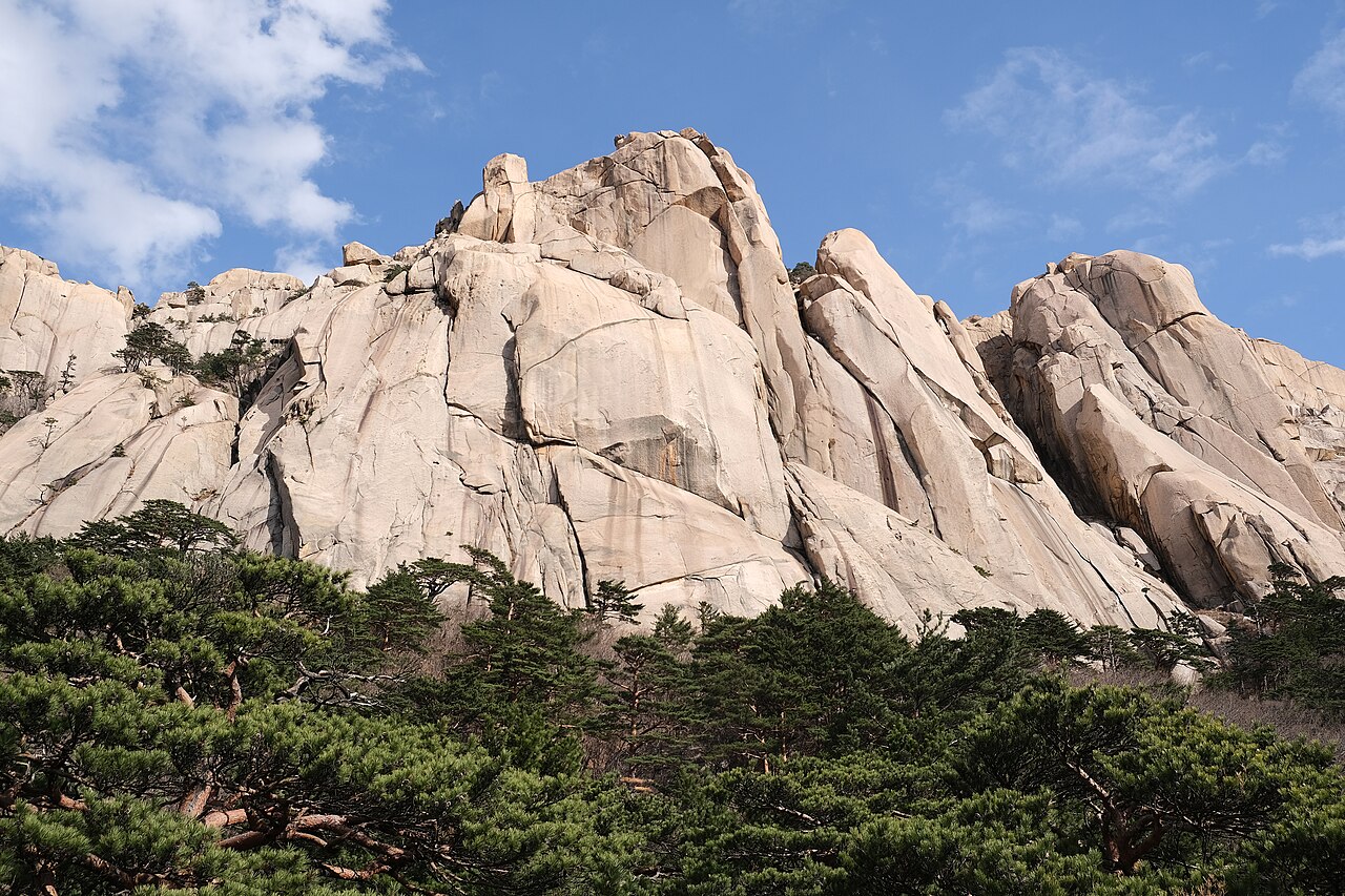
The photograph shows Ulsanbawi, whose pale granite towers are a recognisable part of this landscape. Seeing the rocks from below and reaching the upper viewpoint are different outings. A first visit does not need to include the hardest route.
Valley walk or Ulsanbawi?
The published Ulsanbawi course is about 7.6 kilometres return, with an indicative four-hour duration. Treat that as planning information, not a pace to chase. Steps, rests and conditions may make the day longer. Leave enough time to turn around without rushing.
For a gentler day, ask at the entrance about a shorter lower-park walk. The cable-car outing has its own tickets and operating conditions; it does not take you to Daecheongbong or replace a hiking plan.
Plan your visit
| Practical detail | What to know |
|---|---|
| Starting area | Outer Seorak / Seorak-dong, 833 Seoraksan-ro, Sokcho. |
| Before walking | Check current Korea National Park Service trail notices and route cutoffs. |
| Visitor centre | The indoor centre has separate opening hours and is closed on Mondays. |
| Other services | Cable car, parking and other services follow their own ticket and operating arrangements. |
Keep the day centred on the walk
Stay in Sokcho or the Seorak-dong area if an early start is your priority. Check the journey to the correct entrance and the return connection before committing to a long route. Leave a flexible meal stop for afterwards, rather than an inflexible afternoon booking.
Bring grippy shoes, water, food, layers and a charged phone. Temporary closures and weather restrictions apply to individual trails. If visibility deteriorates, shorten the plan: a comfortable valley visit is more rewarding than pressing on to a viewpoint you cannot safely reach or see from.