Palgongsan has several approaches. Plan around the district or trail you mean to visit rather than a single general mountain pin.
A mountain range beyond the city
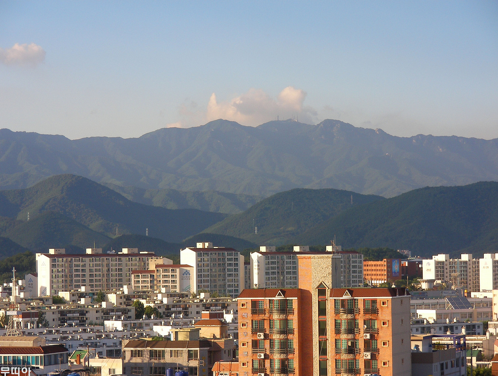
Palgongsan lies northeast of central Daegu. Its main ridge includes Birobong, Dongbong and Seobong, while temples and visitor districts occupy different parts of the surrounding slopes. The photograph is a distant view from Daegu: it helps explain the setting, rather than showing an arrival area or the conditions on a trail.
Choose the purpose of the outing first. A temple-district visit offers a different day from a summit objective. If you also want a cable-car ride, check that service's own location, operating conditions and return arrangements; a national-park visit does not automatically include it.
Keep Donghwasa and Pagyesa separate in the plan
The Donghwasa district is at 1 Donghwasa 1-gil in Dong-gu, Daegu. The Pagyesa district has a separate approach at 741 Pagye-ro. These are different arrival choices. Save the intended district's full address when checking transport instead of assuming any result labelled Palgongsan will take you to the same place.
For a hike, KNPS provides named routes such as Sutaegol–Dongbong, Pagyesa–Pagyejae and Odoam–Birobong. Select the actual route first, read its description and confirm the start and finish. A list of peaks is not an itinerary to join together without checking distance, terrain and the way back.
Plan your visit
| Practical detail | What to know |
|---|---|
| Mapped visitor district | Pagyesa district: 741 Pagye-ro, Dong-gu, Daegu. The map and nearby-stay search below use this side of the park. |
| Alternative district | Donghwasa district: 1 Donghwasa 1-gil, Dong-gu, Daegu. Check how to reach the district from your starting point. |
| Park inquiry | +82-53-989-8300. |
| Admission | Access to the park district is free. Check charges for facilities and activities separately. |
| Trail planning | Use KNPS route information and confirm the named departure point, difficulty and return route. |
| Current access | Check entry-time rules, weather restrictions and trail controls before travelling. |
Choose one achievable main objective
For a shorter outing, give the chosen district and its immediate surroundings time rather than combining several distant trailheads. For a longer walk, check the final local transport and the return departure before leaving the city. Keep any visit to an active temple considerate of worshippers and follow local photography instructions.
The park's general opening description does not establish that every uphill route is open at night or in poor weather. Use KNPS's current information and on-site signs for the final decision. Allow time to return from your chosen objective, and keep a lower-level alternative in mind if access or conditions change.