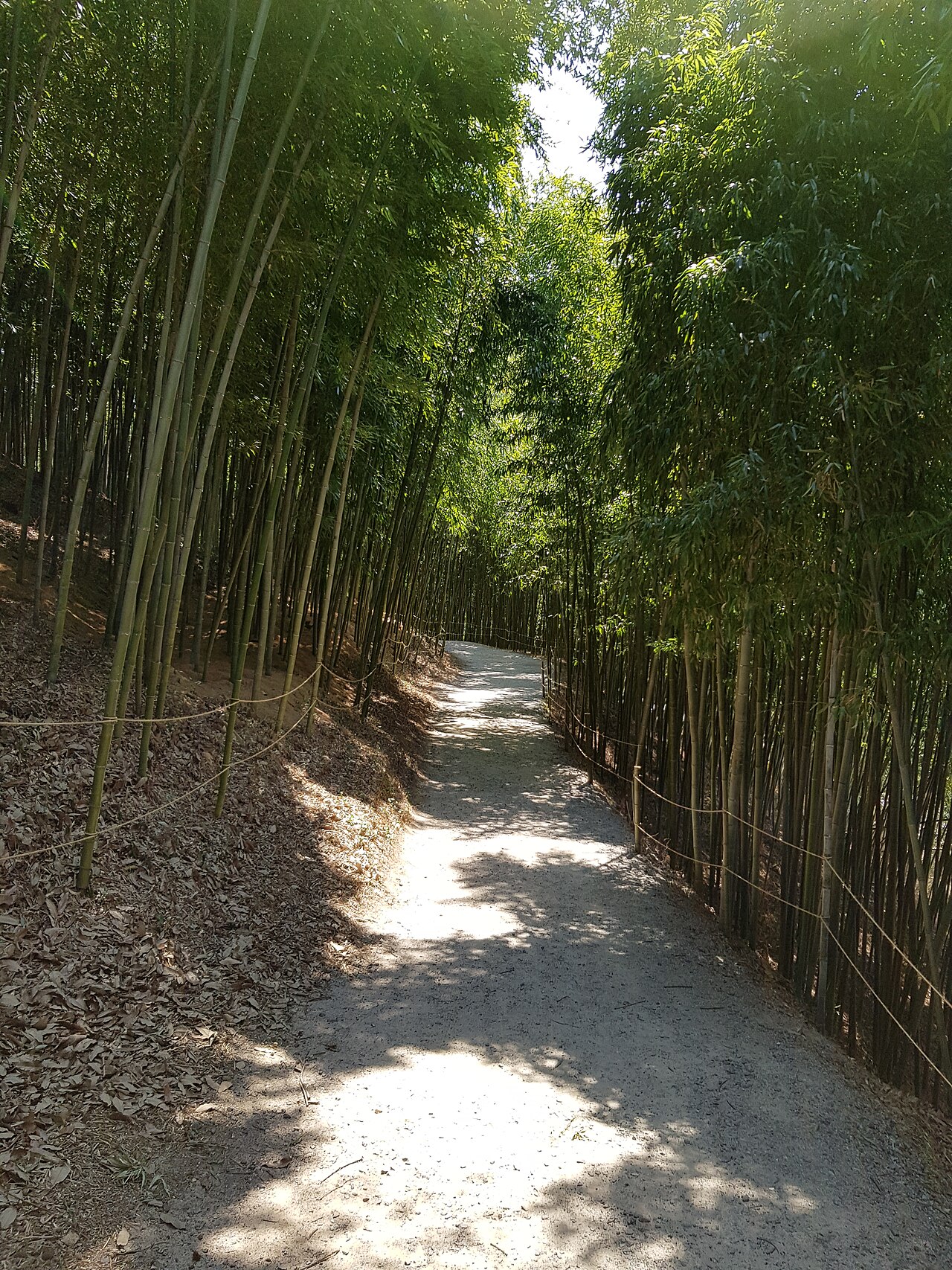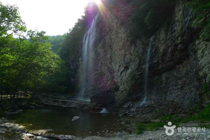
Choose the trail before booking the journey. A scenic valley outing and a ridge hike are different days out.
Start with the right side of the park
Naejangsan National Park includes more than one mountain area. The park covers Naejangsan, Baegamsan and the area around Ibamsanseong Fortress. Naejangsa and Baegyangsa are two temples you can plan a visit around. These names should help you choose a part of the park, rather than become a list to cover in one short visit.
For a Jeongeup-side visit, save the precise facility or trail start you plan to use. The Google place below uses 936 Naejangsan-ro in Jeongeup; the overview pin is a general park reference point. Check the final approach on the official trail map before setting out.
Build the day around a route you can finish
Use the National Park Service's route guide to compare the distance, estimated time and difficulty of the walk you want. Start with your available daylight and return connection, then choose a route that fits both. Leave time for breaks and the journey between your arrival point and the trail itself.
A lower-level visit and a ridge hike need different preparation. If the valley is your priority, keep the plan focused on that area. Treat a climb as a planned activity with suitable footwear, water and current trail information, rather than an extra stop to add when you arrive.
Plan your visit
| Practical detail | What to know |
|---|---|
| Destination | Naejangsan National Park, Jeolla region. |
| Jeongeup-side reference | 936 Naejangsan-ro, Jeongeup-si, Jeonbuk-do; choose the specific facility or trail start for navigation. |
| Trail choice | Use the KNPS guide to compare route distance, time and difficulty. |
| Entry times | Trail-specific entry cutoffs and restrictions need checking for your date. |
| Cable car | Confirm operation, weather restrictions and current fares separately if you intend to use it. |
| Return journey | Allow time to reach your departure stop or car before the end of your day. |
Plan for the season you will actually visit
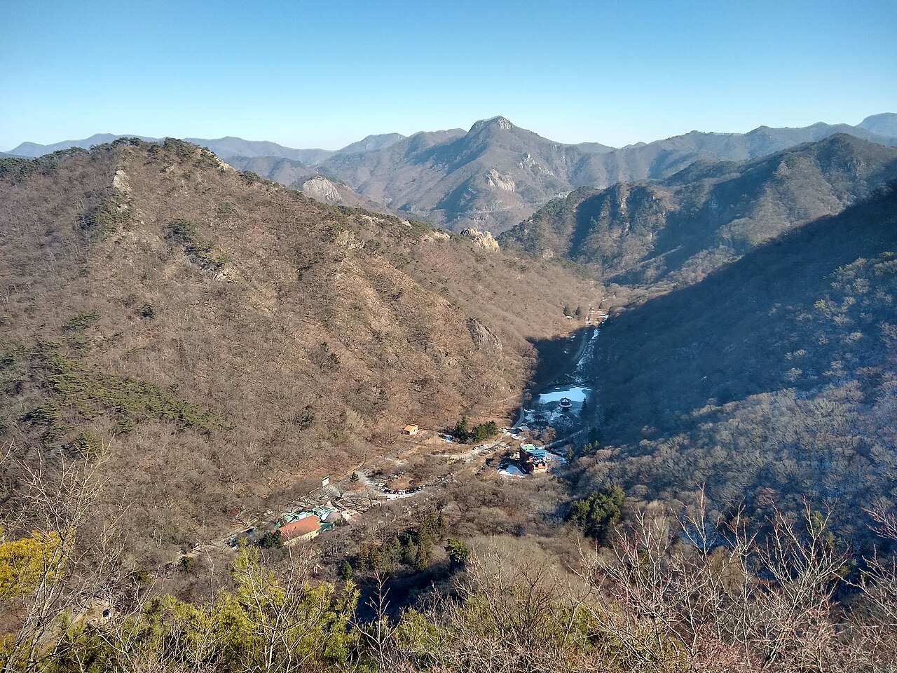
The photograph shows the park in winter, with bare deciduous slopes and a clear view into the valley. The same landscape looks very different with leaves on the trees. Choose the season for the experience you want, while allowing the weather to determine how much walking is sensible on the day.
Check the National Park Service's current access information before travelling. A published route description is a planning reference, not confirmation that every section is open today. Follow on-site closures and entry cutoffs, and shorten the route when conditions require it.