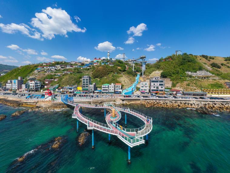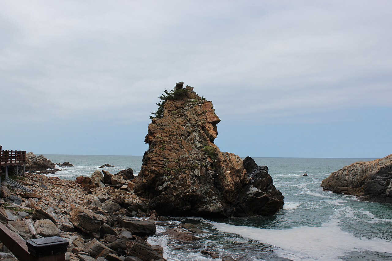
This guide covers Mureunggyegok Valley. Mureung Byeolyucheonji, the former quarry attraction in the same grouped selection, has a different entrance and activities.
Start with the broad rock and flowing water
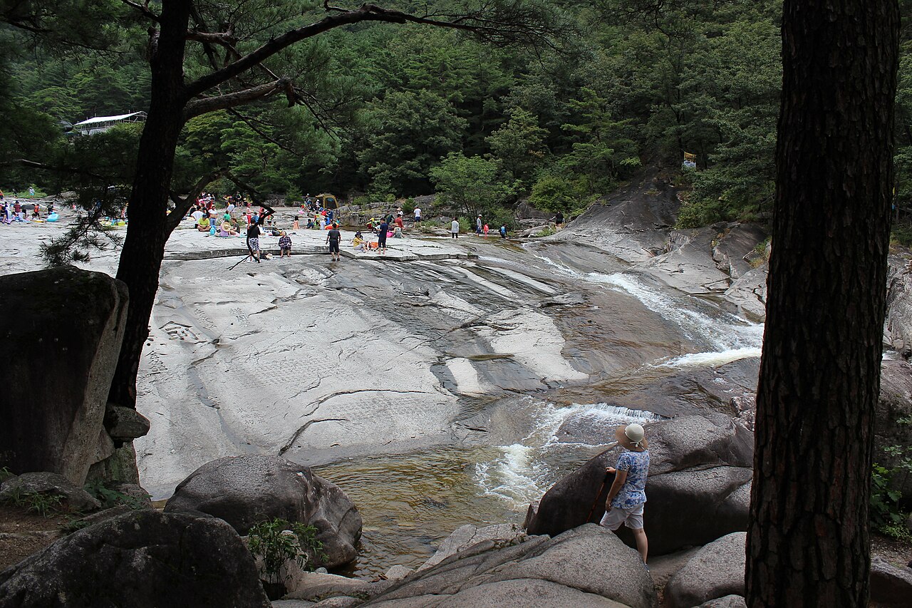
Between Dutasan and Cheongoksan, Mureunggyegok is a valley of broad rock surfaces, pools and forested slopes. Mureung Rock near the lower approach carries old inscriptions left by scholars and poets, adding a cultural layer to the natural landscape.
Make this lower scenery the first stage of your visit. Look at the way the water follows cracks and channels in the rock before deciding whether to continue upstream. The photograph dates from August 2018; people standing on the rock in that scene do not establish that the same areas are safe or open in current conditions.
Use Samhwasa and the waterfalls as separate stages
The valley route passes Samhwasa Temple and continues towards Ssangpokpo and Yongchupokpo waterfalls. The stretch from Hoamso to the upper falls is about four kilometres. That describes the landscape, not a four-kilometre return outing from your parking place.
For a shorter visit, focus on the lower rock landscape and temple approach. If the waterfalls are your goal, consult the current trail map, leave enough time for the way back and choose a turnaround point before you become tired. A mountain extension such as Beteulbawi should be assessed as its own walk, rather than added automatically to a casual valley visit.
Navigate to the valley, then check the day's route
Use the valley visitor address at 538 Samhwa-ro, Donghae. The similarly named Mureung Byeolyucheonji is a redeveloped quarry attraction with separate visitor arrangements. The map on this guide represents the valley tourist site, not the quarry or a mountain summit.
Check current admission, seasonal hours and path restrictions with the operator before travelling. Wear footwear suited to walking and avoid treating wet rock or pools as a playground. After rain or in winter conditions, follow local restrictions and shorten the route if necessary. Allow time to reach your actual onward transport after leaving the trail.
Plan your visit
| Practical detail | What to know |
|---|---|
| Address | 538 Samhwa-ro, Donghae-si, Gangwon-do. |
| Visitor inquiries | +82-33-539-3700 |
| Shorter focus | Lower rock landscape and Samhwasa approach, subject to current route access. |
| Longer focus | Ssangpokpo / Yongchupokpo, with time and energy reserved for the return. |
| Tickets and hours | Confirm current arrangements; older tourism price lists are not used as a current quote. |
| Different attraction | Mureung Byeolyucheonji is a separate site, not this map pin. |