A summit attempt is a full mountain day. Confirm the route reservation and cutoffs first, and keep a lower-level alternative for difficult weather.
The mountain at the centre of Jeju
Hallasan rises at the centre of Jeju and forms part of the island’s UNESCO volcanic heritage. Its summit crater, Baengnokdam, is the destination many walkers have in mind, but the national park contains several routes with different endpoints. Not every trail reaches the crater.
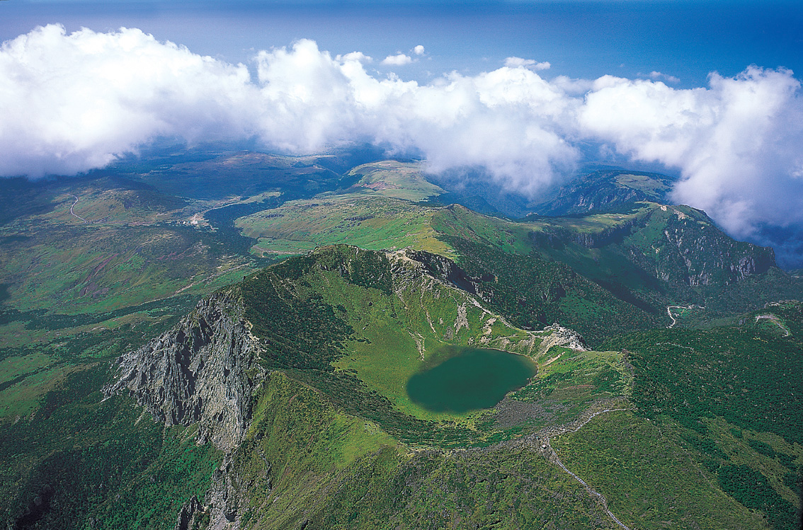
The aerial photograph explains the landform; it is not a view available from the roadside. Before choosing a walk, separate the wish to see the summit from the distance, climb and conditions needed to reach it. A shorter route can still make a worthwhile mountain visit.
Choose the trail, then make the reservation
Seongpanak and Gwaneumsa are the summit approaches covered by the trail-reservation system. Seongpanak is 9.6 kilometres one way; the park gives an indicative four-and-a-half-hour ascent. That means the descent needs a substantial part of the day too.
Other routes do not automatically join the summit route. Check the exact endpoint and any closure before deciding. Use the official reservation system and the current trail information together: holding a reservation does not override a weather closure or a checkpoint cutoff.
Plan your visit
| Practical detail | What to know |
|---|---|
| Summit routes | Seongpanak and Gwaneumsa; check reservation availability for your date. |
| Seongpanak distance | 9.6 km one way; allow for the full return mountain journey. |
| Earliest entry | Check your booked entry slot and any restrictions posted for the day of your hike. |
| Seongpanak entry and checkpoint cutoffs | Confirm the cutoffs at the trail entrance and the Jindallaebat checkpoint for your date. The official schedules differ. |
| Latest summit departure | Confirm when you must leave Baengnokdam. Ask park staff before starting if published times differ. |
| Access decision | Current closures and staff instructions take precedence over a planned itinerary. |
Keep the rest of the day flexible
Arrange the outward journey to your chosen trailhead and the return transport before hiking. A different finish point changes the transfer; do not assume you will end beside the vehicle or bus stop where you began.
Bring food, water, grippy footwear, layers and a charged phone. Winter conditions require suitable equipment and experience. Avoid a fixed restaurant booking or a tight flight connection after the walk. If wind, visibility or your group’s pace makes the original plan unsuitable, turn around in good time and keep the summit for another day.